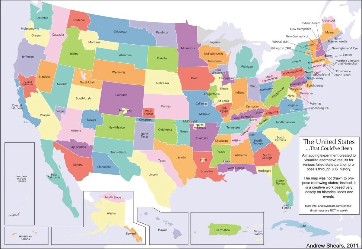
@scarlett_sThe 124 United States That Could’ve Been. #UnitedStates
Voir la publication d'origine@scarlett_sThe 124 United States That Could’ve Been. #UnitedStates
Voir la publication d'originePhoto de @scarlett_s· Oct 16, 2026· United States
The image is a colorful, stylized map of the United States. It depicts an alternate history where states have been redrawn into different shapes and given new names. The mood is educational and thought-provoking, presented in a clean, infographic style. A notable detail is the text box in the lower right corner, which explains the map's purpose. ON-SCREEN TEXT: The United States ...That Could've Been A mapping experiment created to visualize alternative results for various failed state partition proposals through U.S. history. The map was not drawn to propose redrawing states; instead, it is a creative work based very loosely on historical ideas and events. More info: andrewshears.com/?p=1581 (Inset maps are NOT to scale!) Andrew Shears, 2011
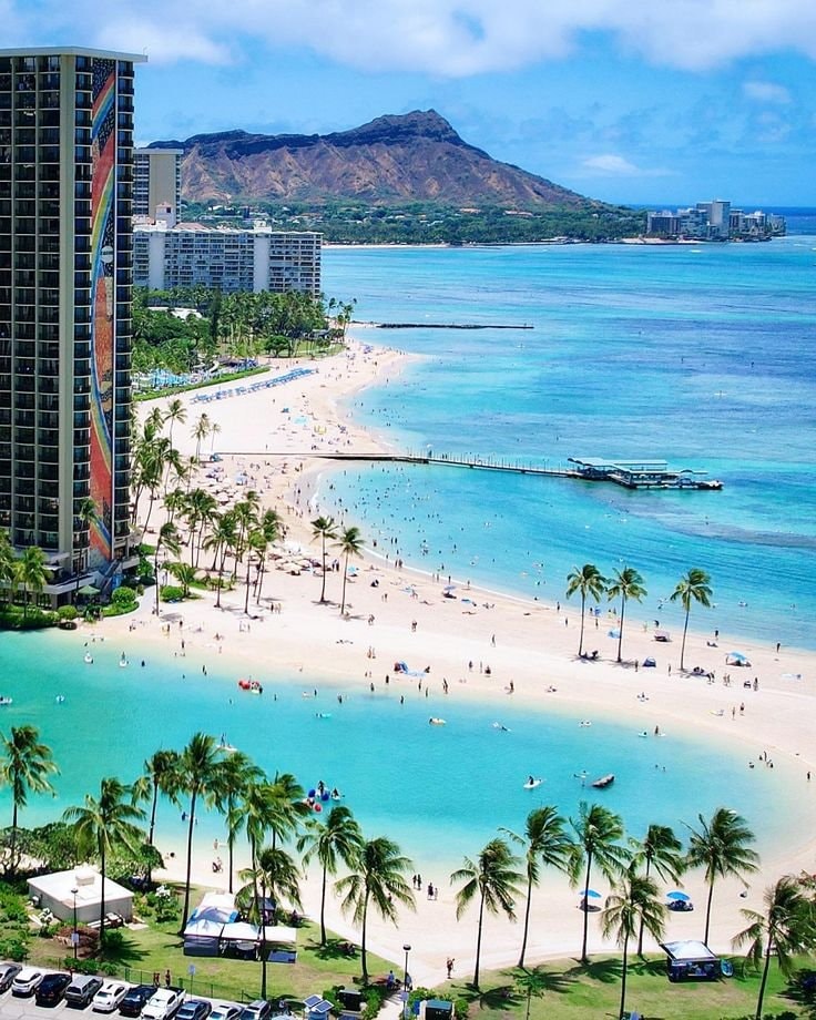 Hawaii beach
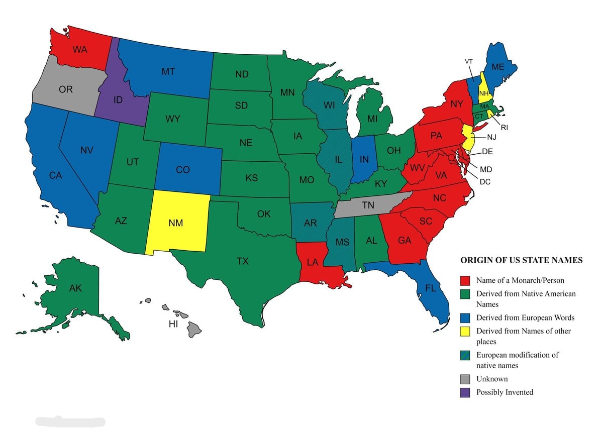 Origins of US state names map
 Experts urge vaccination as mutated virus surges
 WWE Crown Jewel Riyadh 11/7
 2Chiricahua National Monument becomes 64th national park
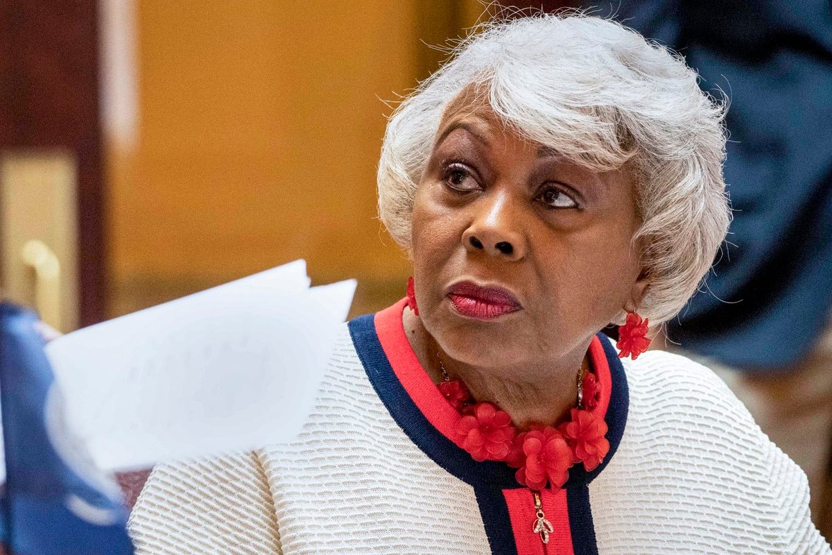 Louise Lucas arrested charges
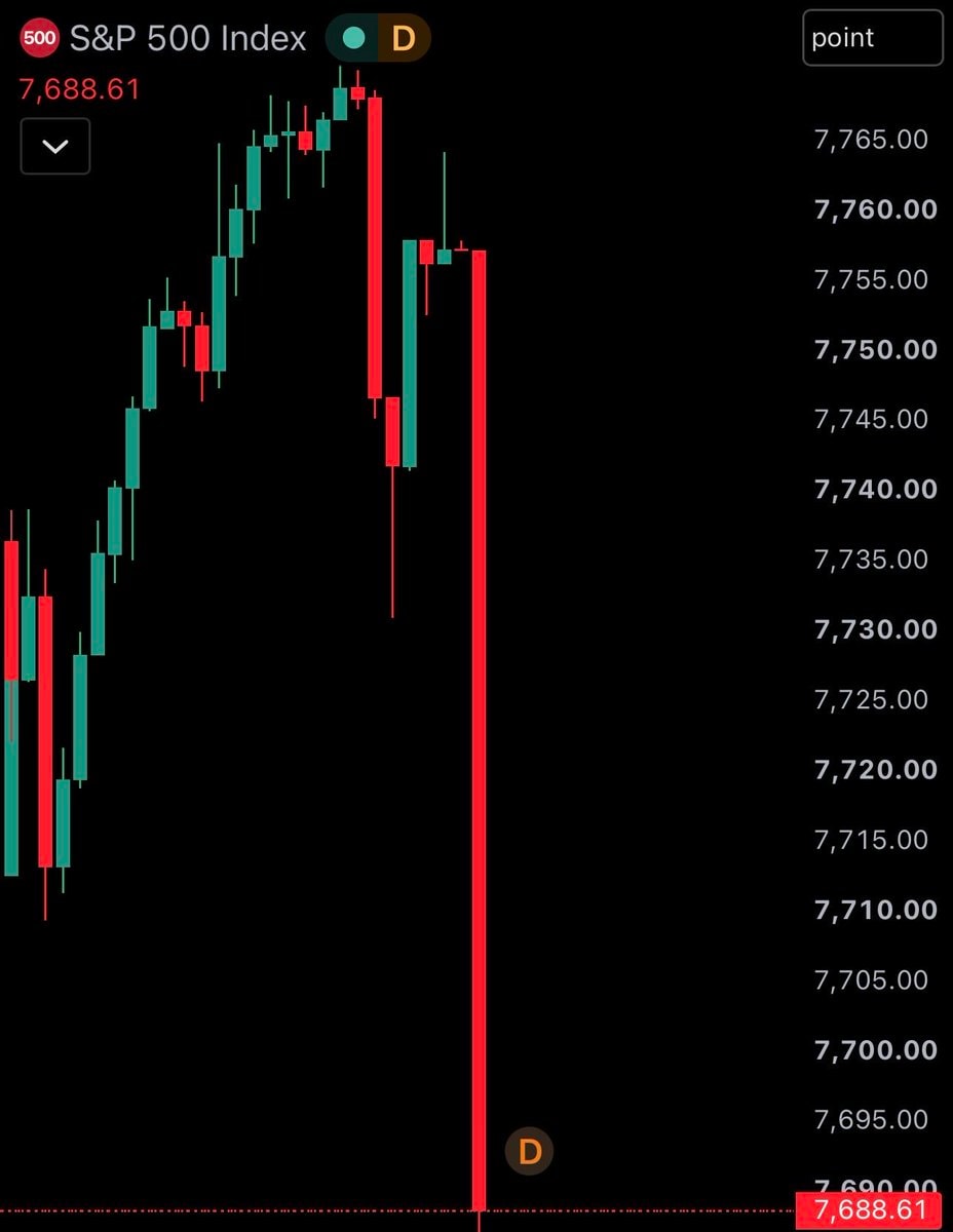 US stock market open loss
 Unit 9900 Israel Saudi Arabia Yemen Intel
 US Lockheed Martin F-35 deal
 2Global central bank gold accumulation
 2Drake 2026 Spotify forecast
 2US Supreme Court ruling on federal prisons
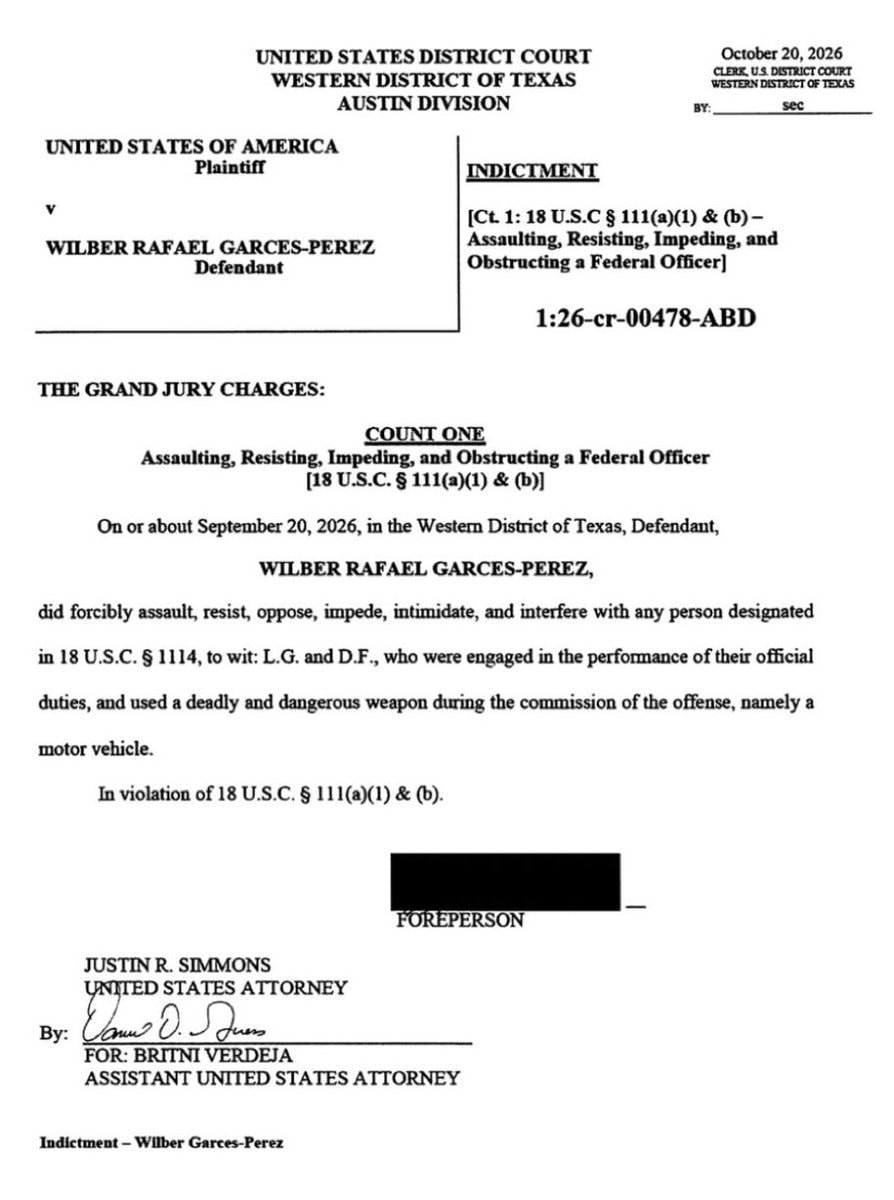 Wilber Rafael Garces Perez federal indictment
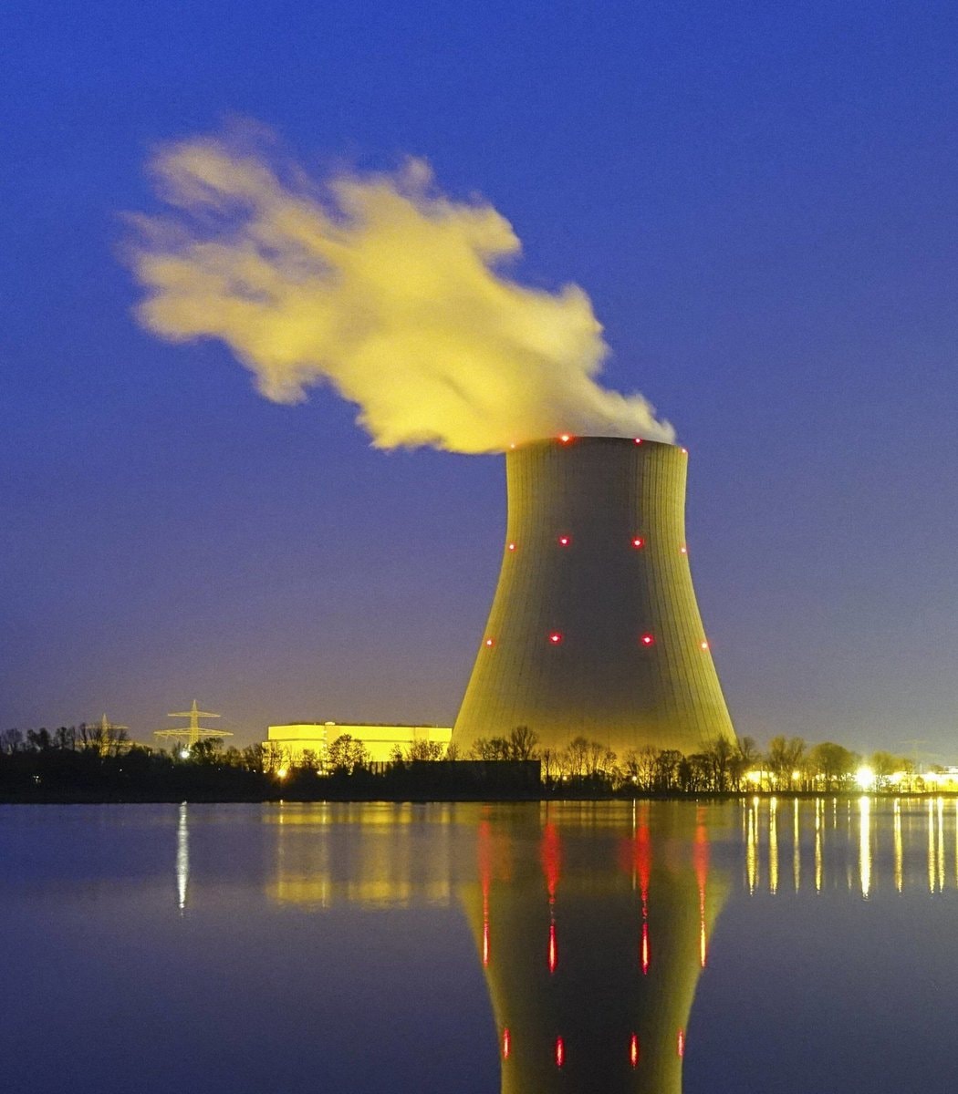 2US greenhouse emissions rise
 2Marco Rubio statement on India
 Europe vs US China automation AI
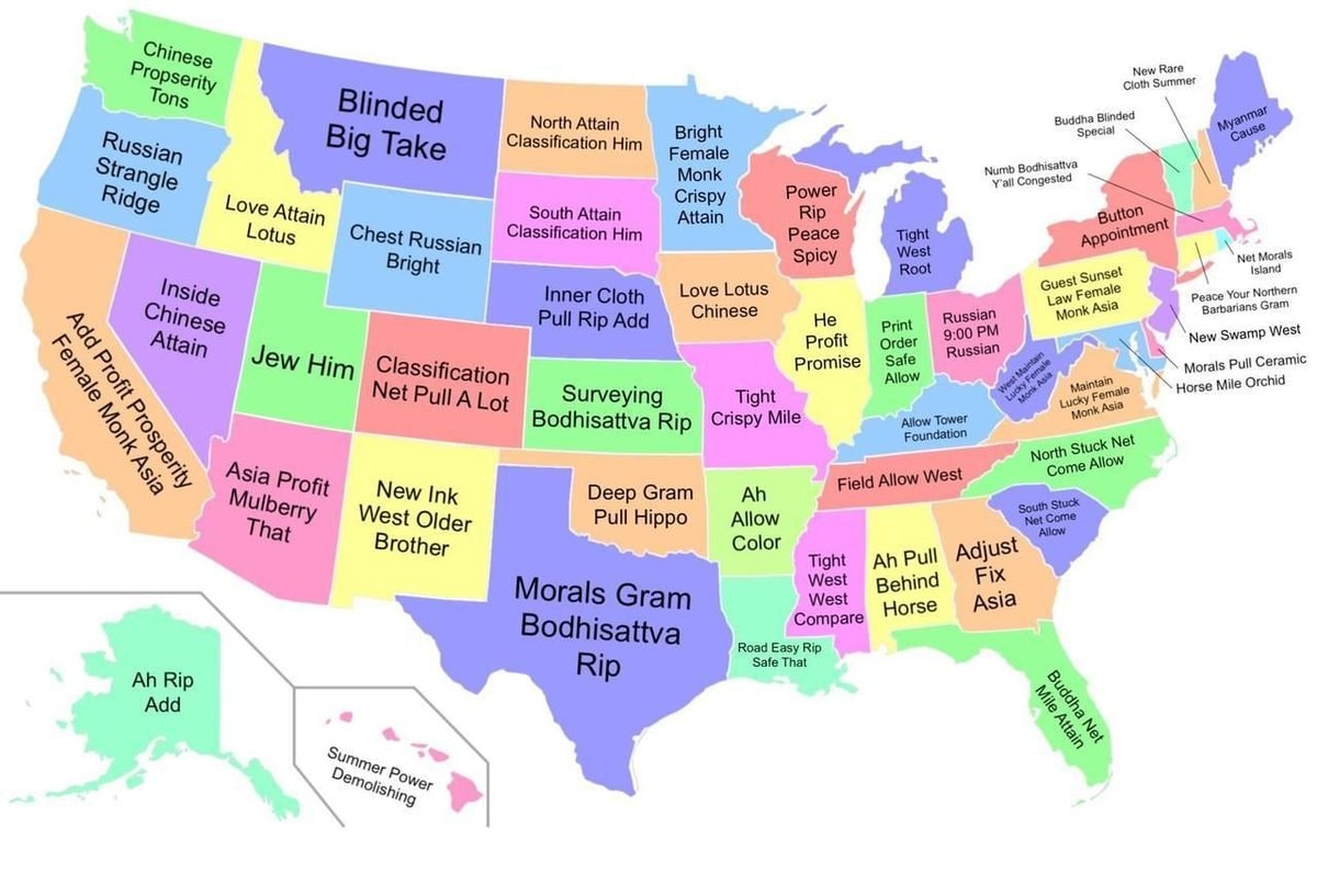 US states in Chinese translation loop
 USS Theodore Roosevelt Middle East deployment
@scarlett_sThe 124 United States That Could’ve Been. #UnitedStates
Voir la publication d'originePhoto de @scarlett_s· Oct 16, 2026· United States
The image is a colorful, stylized map of the United States. It depicts an alternate history where states have been redrawn into different shapes and given new names. The mood is educational and thought-provoking, presented in a clean, infographic style. A notable detail is the text box in the lower right corner, which explains the map's purpose. ON-SCREEN TEXT: The United States ...That Could've Been A mapping experiment created to visualize alternative results for various failed state partition proposals through U.S. history. The map was not drawn to propose redrawing states; instead, it is a creative work based very loosely on historical ideas and events. More info: andrewshears.com/?p=1581 (Inset maps are NOT to scale!) Andrew Shears, 2011
Hawaii beachOrigins of US state names mapExperts urge vaccination as mutated virus surgesWWE Crown Jewel Riyadh 11/72Chiricahua National Monument becomes 64th national parkLouise Lucas arrested chargesUS stock market open lossUnit 9900 Israel Saudi Arabia Yemen IntelUS Lockheed Martin F-35 deal2Global central bank gold accumulation2Drake 2026 Spotify forecast2US Supreme Court ruling on federal prisonsWilber Rafael Garces Perez federal indictment2US greenhouse emissions rise2Marco Rubio statement on IndiaEurope vs US China automation AIUS states in Chinese translation loopUSS Theodore Roosevelt Middle East deployment