iFANN
    Rechercher sur iFANN...
    Connexion
    Accueil
    Actualités
    Vidéos
    Photos
    GIF
    Explorer
    Sondages
    Récompenses
    iFAMOUS
    Wiki
    Animé
    Salons
    Notifications
    Messages
    Favoris
    Profil
    WikiRécompensesiFAMOUSClassementsSecteursRécompenses créateursRécompenses utilisateursConditionsConfidentialitéRègles de la communautéRetrait / DMCAAideDéveloppeurs

    © 2026 iFANN

    Accueil
    Rechercher
    Messages
    Alertes
    Profil
    Photo
    Savage Updates
    Savage Updates@savageupdates1d
    🌍United States💭Info/Editorials
    Black Population US 1900 vs 2020

    @savageupdatesThe Black Population in the United States 🇺🇸 The Black population increased from 36.2 million in 2000 to 47.9 million in 2022 — an increase of about 11.7 million people. In 2022, Black Americans accounted for 14.4% of the U.S. population. 1900 vs. 2020: Geographic Distribution of the Black Population. 📊 Source: IPUMS NHGIS & NCBI.

    Voir la publication d'origine
    Black Population US 1900 vs 2020

    Photo de @savageupdates· Sep 20, 2026· United States

    À propos de cette photo

    The image displays two maps of the United States, one for the year 1900 and another for 2020, showing population distribution by county using shades of green. The maps are presented in a data visualization style. A legend indicates that darker shades of green represent higher percentages of the population. The 1900 map shows a dense concentration of darker green in the Southeast, while the 2020 map shows a more dispersed pattern with significant green areas extending westward. On-screen text reads "1900" and "2020" next to each map, along with a legend and "Total: 11.6%" and "Total: 12.4%" respectively. The source is listed as "IPUMS NHGIS".

    Voir toutes les photos de United States

    ?

    Aucun commentaire pour le moment. Soyez le premier !

    Plus de photos de United States

    Voir toutes les photos de United States
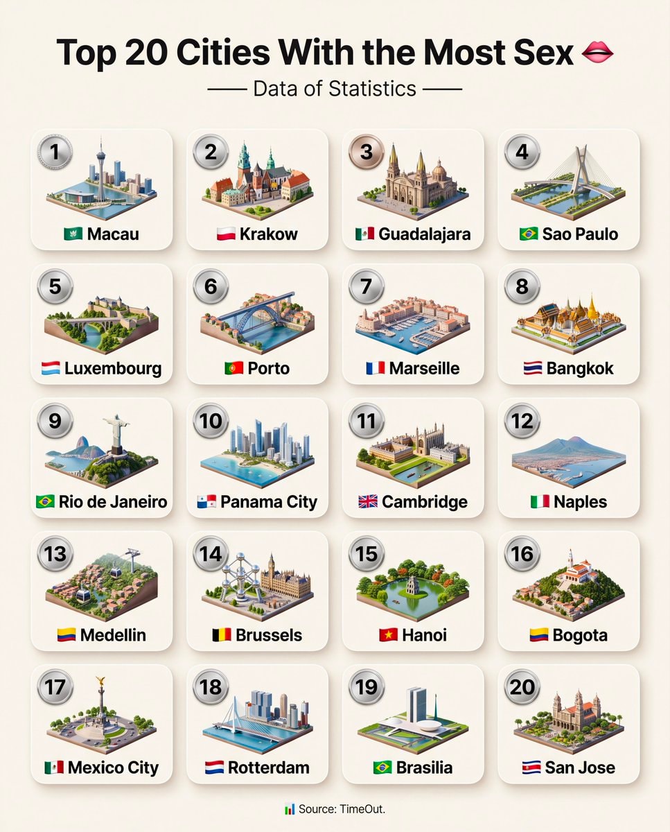
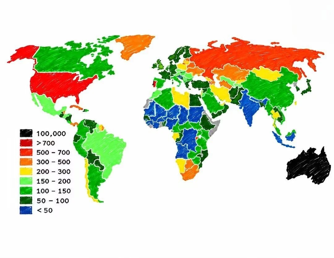
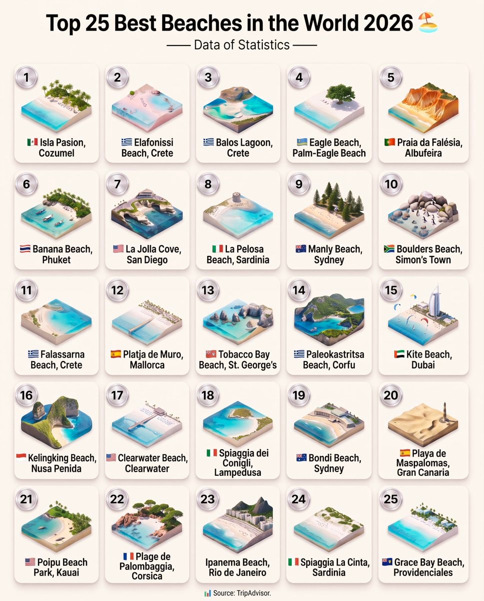
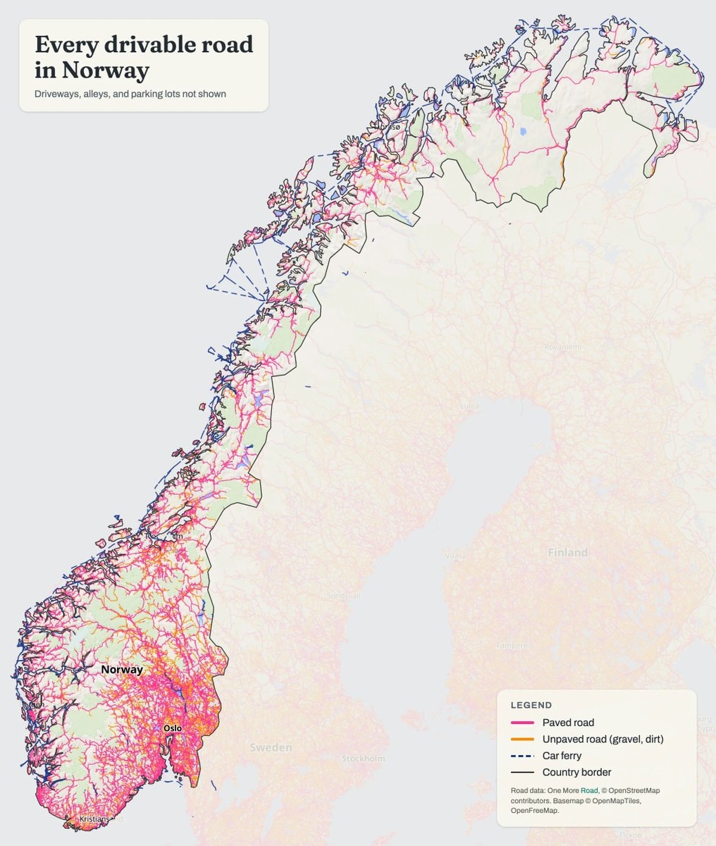
    Europe in 1200 ADEurope in 1200 ADUnited States map 1830United States map 1830European ancestries map of the USAEuropean ancestries map of the USAAlternate map of Europe after world war oneAlternate map of Europe after world war oneUS Military bases in EuropeUS Military bases in EuropeBritish vs American English school teachingBritish vs American English school teachingBRICS member countries mapBRICS member countries mapTop 20 Cities With the Most SexTop 20 Cities With the Most SexPrison population per 100,000 peoplePrison population per 100,000 peopleTop 25 Best Beaches in the World 2026Top 25 Best Beaches in the World 2026Norway drivable roads mapNorway drivable roads mapSecond Most Taught Foreign Language in Secondary SchoolSecond Most Taught Foreign Language in Secondary School33 Things That Didn't Exist 25 Years Ago33 Things That Didn't Exist 25 Years Agorichest and poorest areas in Germanyrichest and poorest areas in GermanyCanada provinces and territories mapCanada provinces and territories map20 Women With the Longest Hair20 Women With the Longest HairEU Richest Regions GDP Per Capita RankingEU Richest Regions GDP Per Capita RankingTop 30 Ice Hockey Players RankingTop 30 Ice Hockey Players Ranking
    Photo
    Savage Updates
    Savage Updates@savageupdates1d
    🌍United States💭Info/Editorials
    Black Population US 1900 vs 2020

    @savageupdatesThe Black Population in the United States 🇺🇸 The Black population increased from 36.2 million in 2000 to 47.9 million in 2022 — an increase of about 11.7 million people. In 2022, Black Americans accounted for 14.4% of the U.S. population. 1900 vs. 2020: Geographic Distribution of the Black Population. 📊 Source: IPUMS NHGIS & NCBI.

    Voir la publication d'origine
    Black Population US 1900 vs 2020

    Photo de @savageupdates· Sep 20, 2026· United States

    À propos de cette photo

    The image displays two maps of the United States, one for the year 1900 and another for 2020, showing population distribution by county using shades of green. The maps are presented in a data visualization style. A legend indicates that darker shades of green represent higher percentages of the population. The 1900 map shows a dense concentration of darker green in the Southeast, while the 2020 map shows a more dispersed pattern with significant green areas extending westward. On-screen text reads "1900" and "2020" next to each map, along with a legend and "Total: 11.6%" and "Total: 12.4%" respectively. The source is listed as "IPUMS NHGIS".

    Voir toutes les photos de United States

    ?

    Aucun commentaire pour le moment. Soyez le premier !

    Plus de photos de United States

    Voir toutes les photos de United States
    Europe in 1200 ADEurope in 1200 ADUnited States map 1830United States map 1830European ancestries map of the USAEuropean ancestries map of the USAAlternate map of Europe after world war oneAlternate map of Europe after world war oneUS Military bases in EuropeUS Military bases in EuropeBritish vs American English school teachingBritish vs American English school teachingBRICS member countries mapBRICS member countries mapTop 20 Cities With the Most SexTop 20 Cities With the Most SexPrison population per 100,000 peoplePrison population per 100,000 peopleTop 25 Best Beaches in the World 2026Top 25 Best Beaches in the World 2026Norway drivable roads mapNorway drivable roads mapSecond Most Taught Foreign Language in Secondary SchoolSecond Most Taught Foreign Language in Secondary School33 Things That Didn't Exist 25 Years Ago33 Things That Didn't Exist 25 Years Agorichest and poorest areas in Germanyrichest and poorest areas in GermanyCanada provinces and territories mapCanada provinces and territories map20 Women With the Longest Hair20 Women With the Longest HairEU Richest Regions GDP Per Capita RankingEU Richest Regions GDP Per Capita RankingTop 30 Ice Hockey Players RankingTop 30 Ice Hockey Players Ranking